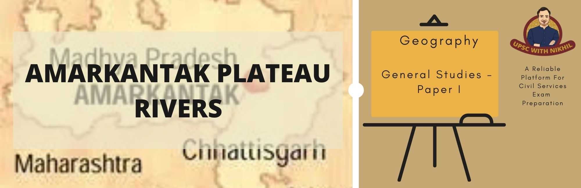
Amarkantak Plateau Rivers
RIVER NARMADA
- The Narmada originates on the western flank of the Amarkantak plateau at a height of about 1,057 m.
- It is the largest west flowing river of Peninsular India.
- Flowing in a rift valley between the Satpura in the south and the Vindhyan range in the north, it forms a picturesque gorge in marble rocks and Dhuandhar waterfall near Jabalpur.
- Its valley is a depressed block of the Earth’s crust bordered by parallel faults.

- After flowing a distance of about 1,312 km, it meets the Arabian sea south of Bharuch, forming a broad 27 km long estuary. Its catchment area is about 98,796 sq. km.
- The Sardar Sarovar Project has been constructed on this river
RIVER SON 
- The Son is a large south bank tributary of the Ganga, originating in the Amarkantak plateau.
- After forming a series of waterfalls at the edge of the plateau, it reaches Arrah, west of Patna, to join the Ganga.
JOHILLA RIVER
- It is a tributary of River Son. Its source is near Amarkantak.
TAPI RIVER
-
The Tapi is the other important westward flowing river.
-
It originates from Multai in the Betul district of Madhya Pradesh.
-
Nearly 79 per cent of its basin lies in Maharashtra, 15 per cent in Madhya Pradesh and the remaining 6 per cent in Gujarat.