Jhelum River
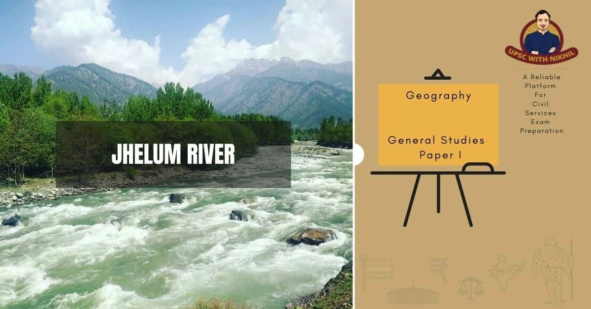
The Jhelum River originates from the Indian Union territory of Jammu and Kashmir and flows into the Punjab province of Pakistan. It is the westernmost river of the Punjab region and flows through the Kashmir Valley. It is a tributary of the Chenab River and has a total length of approximately 725 kilometres.

MORE ABOUT THE JHELUM RIVER
The Jhelum River originates from a deep spring at Vernag, in western Jammu and Kashmir union territory, which is a part of the Indian-administered Kashmir region. It flows northwestward from the northern slope of the Pir Panjal Range through the Vale of Kashmir to reach Srinagar's Wular Lake, where its flow is regulated. From the lake, the river emerges and flows westward, cutting through the Pir Panjal in a 7,000 feet (2,100 metres) deep gorge with almost perpendicular sides.
At Muzaffarabad, the administrative centre of the Pakistani-administered sector of Kashmir, the Jhelum River is joined by the Kishanganga River before bending southward to form part of the border between the Pakistani-administered sector of Kashmir on the east and Khyber Pakhtunkhwa province on the west. It then flows into the Punjab province to the south. The Jhelum River breaks through the Outer Himalayas near Mangla, forming broad alluvial plains. It turns southwestward at Jhelum, following the Salt Range to Khushab, where it bends south again to join the Chenab River near Trimmu. The total length of the Jhelum River is approximately 450 miles (725 km). Its catchment area is around 15,856 km2, up to the Line of Control (LOC), which marks its entry into Pakistan.
The Jhelum basin has an established drainage system that is led by the Jhelum River, the main drainage channel. The basin comprises about 147 glaciers, covering an area of about 75 square kilometres. The Jhelum River has 24 tributaries, with some originating from the slopes of the Pir Panjal range and joining the river on the left bank, while others originate from the Himalayan range and join the river on the right bank.
In India, the river has a lot of potential for power generation. As a result of the Indus Basin Project, water control structures such as the following are being built:
DAMS
Below is a list of some important dams and bridges along with their key features:
- Mangla Dam: This huge earth-fill dam was completed in 1967 and has a storage capacity of 5,900,000 acre-feet. (With a volume of 142,000,000 cubic meters, the Tarbela Dam is the largest earth and rock fill dam in the world and stands 147 meters above the Indus riverbed).
- Rasul Barrage: Built-in 1967, this barrage has a maximum flow of 850,000 feet per second.
- Trimmu Barrage: Near Jhang Sadar at the Chenab's confluence, this barrage was built in 1939 and has a maximum discharge capacity of 645,000 ft3/s.
- Victoria Bridge (Haranpur): Built in 1933, this bridge is located near Chak Nizam Village, about 5 kilometres from Malakwal. It has a length of one kilometre and is primarily used by Pakistan Railways.
- Uri Dam: Located in Jammu and Kashmir's Baramulla district, this dam has a 480 MW hydroelectric station.
- Uri Dam II: Also located in Jammu and Kashmir's Baramulla district, this dam has a 240 MW hydroelectric station.
- Kishanganga Hydroelectric Plant: This 330 MW hydroelectric station is located in Jammu and Kashmir's Bandipora district.

ENVIRONMENTAL THREATS:
The Jhelum River is a critical source of services and goods for many people in the basin. The residents of the basin are closely connected to the river through various livelihood activities such as fishing, boating, tourism, and vegetable gardens around the lakes. Jhelum is the lifeline of major cities along its path from Verinag to Uri, including Srinagar. Over time, some water bodies, including the main river, have become popular tourist destinations for amusement, lodging, and sightseeing.
Unfortunately, many areas in the Jhelum basin are facing moderate to severe water shortages, which are further worsened by the negative impacts of rapid urbanization and population growth. Given the evident and audible impacts of climate change in the basin, it is critical to comprehend the changing hydrological situation in response to these changes. This understanding is essential for developing a sound strategy for the long- and short-term development of the basin's limited freshwater resources.
Unfortunately, many areas in the Jhelum basin are facing moderate to severe water shortages, which are further worsened by the negative impacts of rapid urbanization and population growth. Given the evident and audible impacts of climate change in the basin, it is critical to comprehend the changing hydrological situation in response to these changes. This understanding is essential for developing a sound strategy for the long- and short-term development of the basin's limited freshwater resources.
POINT SOURCE OF POLLUTION:
The absence of heavy industries in the Jhelum basin is the primary reason for the Jhelum's overall good water quality. However, there are several Industrial Estates located throughout the basin that house a variety of smaller businesses. The majority of these Industrial Estates have inadequate pollution control measures.
LAKE POLLUTION
There are 788 wetlands and water bodies in the Jhelum basin, with 69 of them being high-altitude lakes and wetlands. The Jhelum basin has a few well-known and picturesque lakes, such as Dal and Wular, but the majority of these lakes and wetlands are under anthropogenic pressure. The majority of the lakes in the Jhelum basin have become eutrophic due to the influx of untreated domestic wastewater and the application of fertilisers.
HYDROELECTRIC POWER PLANTS
Even though hydropower development in the basin is only 30 per cent of its potential, the way it is promoted in the state has enormous environmental costs for the mountainous Jhelum basin. It is widely acknowledged that human interference in the global environment has increased to the point where, if left unchecked, it may jeopardise the survival of organisms on this blue planet in the not-too-distant future. As a result, it's critical to promote hydropower development in a way that minimises the basin's environmental costs.

RIVERFRONT DEVELOPMENT AND FLOODPLAIN CONVERSION
The Jhelum riverfront in Srinagar has recently been developed to attract tourists, and tourist infrastructure such as parks, viewsheds, and footpaths has been laid along the river's banks, particularly on the right bank. The experiment, however, has not worked well in some areas, as evidenced by the negative impact of this development on massive chinars along the Jhelum river bank, which have dried up due to the earthworks along the riverfronts. In addition, the Jhelum floodplains have been unregulatedly converted to built-up and other land uses throughout the basin. As seen during the 2014 floods, the conversion of floodplains has a negative impact on floodwater storage.
SAND/BOULDER MINING
Sand and boulder mining is widespread throughout the Jhelum basin's main and tributaries. The haphazard mining of sand and gravel from the riverbed has negative consequences for flood control and mitigation. In some of the Jhelum's high-gradient tributaries, haphazard gravel mining has caused the channel to change course. The uncontrolled mining of the river Jhelum has had a negative impact on the river's fish spawning. In the basin, some indigenous fish species, such as schizothorax species, have become rare and endangered.
EXITING WATER CONFLICTS
The waters of the Jhelum and other Indus rivers are shared between India and Pakistan as per the Indus Water Treaty (IWT) signed in 1960. This treaty is often considered a successful example of transboundary sharing of river waters, even though it is not based on any international water law and is governed by political compromise with a focus on engineering solutions.
However, the majority of experts in both countries agree that there are good reasons to supplement and expand the treaty by using scientific knowledge to address issues that have arisen post-IWT. These issues include climate change, environmental flows, watershed management, and groundwater. By modernizing the implementation of the treaty and its dispute resolution mechanism and promoting peaceful relations, both countries can benefit mutually.
However, the majority of experts in both countries agree that there are good reasons to supplement and expand the treaty by using scientific knowledge to address issues that have arisen post-IWT. These issues include climate change, environmental flows, watershed management, and groundwater. By modernizing the implementation of the treaty and its dispute resolution mechanism and promoting peaceful relations, both countries can benefit mutually.